Contents
Story
Decoys
Credits

🟡 LIMITED RESEARCH VOLUME
OWNERS
Cherry Point Gun Club
1970s–?prior
LOCATION
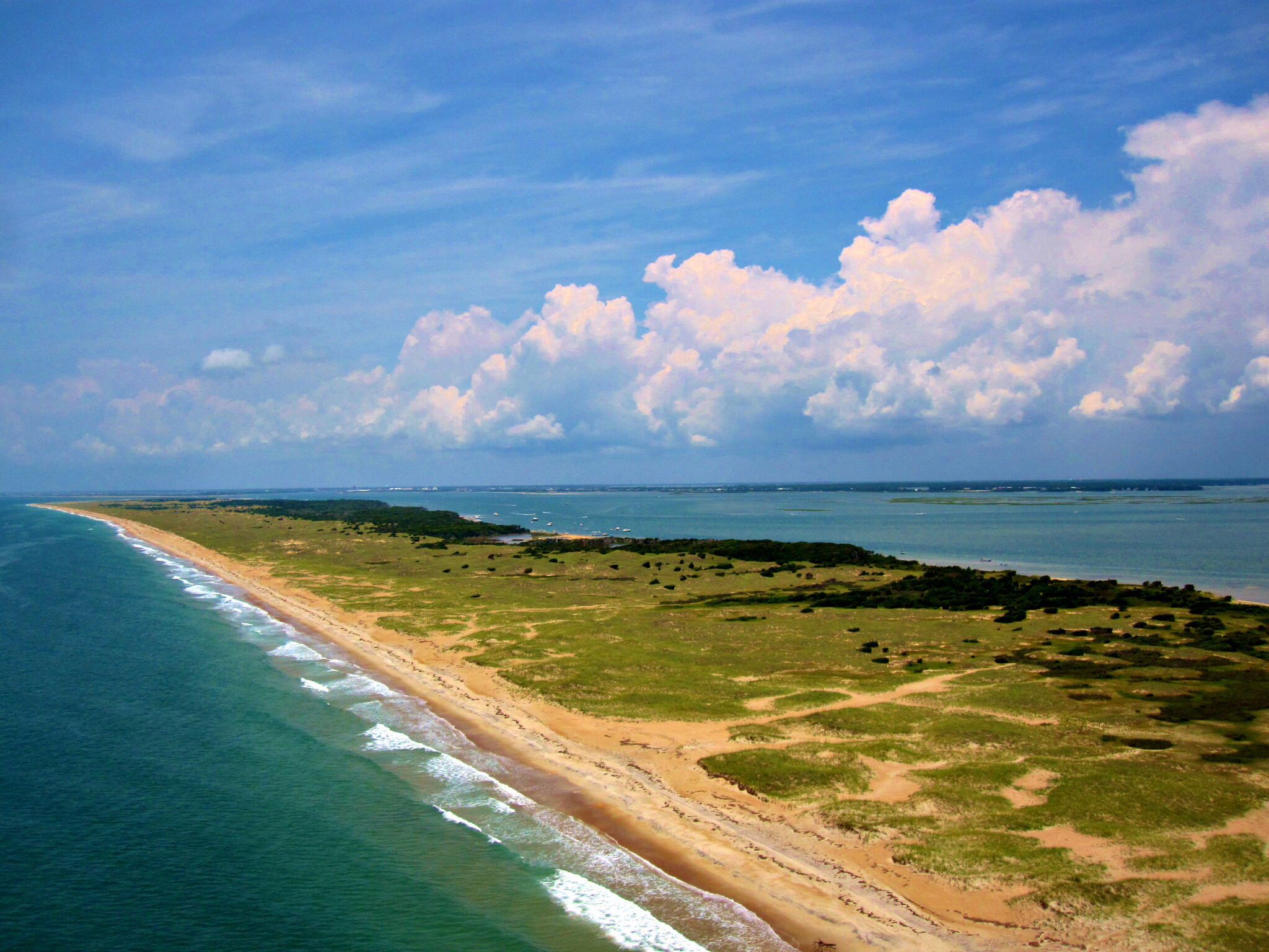
Southern Core Banks
Story


do you know more? contact me.
CHERRY POINT GUN CLUB
Reference to Telephone Pole #1167 would place the camp near Lewis Creek and Horse Island (according to 1976 Existing Conditions map)
The Club held 38 acres.


Today the camp would be described as being on South Core Banks about 2.5 miles due southeast across Core Sound from Bells Island, Marshallberg. The camp’s location would have been at the NPS’s mile marker 34 and was built approximately 775 yard out on the marsh from the beach. The only access to the camp would have been my boat.

A 1969 news article documents that the Cherry Point Gun Club donated to the State of N.C., in mid-May, the 33-acre island it owned–as an apparent gift. (news article source not indicated).

One example of the difficulty with ownership details on the Banks—
The Mayer deed and donation surpried many, but not the Cart Co Register of Deeds or local surveyors and attorneys.
The Banks change over time and what was once 1,000 acres in 1945 could easily be much underwater in 1969 —and again out of water in the future—deed details were transposed and very likely without surveys., whern done,
Some surveys refer to stakes, posts and even to upside down bottles buried in the sand at plot corners—deeds and surveys were known to be inaccurate.
Many owners had deeds and bills of sale, but did not register them with the county.
Transfers of ownership were not always officially recorded or, only, recorded after delays
One Shackleford Banks owner with a deed built a cabin on “his land” only to find he was off a hundred yards or so—the NPS and Govt disallowed his claims—nothing was built upon “his property” and his cabin was built on land he did not own—there were no surveyors in frequent use for such decision making.
The Mayer gift is one example—the Govt got what it expected from their aerial evaluation, but it was not 1,000 acres at the time of gift— but had been in the past.
There may have been misrepresentation, but there is no evidence of this found thus far.
Currently, additional data is not yet available.
Credits
- NPS Archives and files
- Geographic data courtesy of Ricky Nelson
- Other references within text