
Proposed Cape Lookout Beach Club–mid 1900s
Prior to establishment of Cape lookout National Seashore, there were several attempts to develop the Banks, especially the Cape Lookout Bight area. A 1585 Indian village, 1731 whaler huts, and a couple centuries serving as sites for fisherman camps preceded these “modern” attempts.
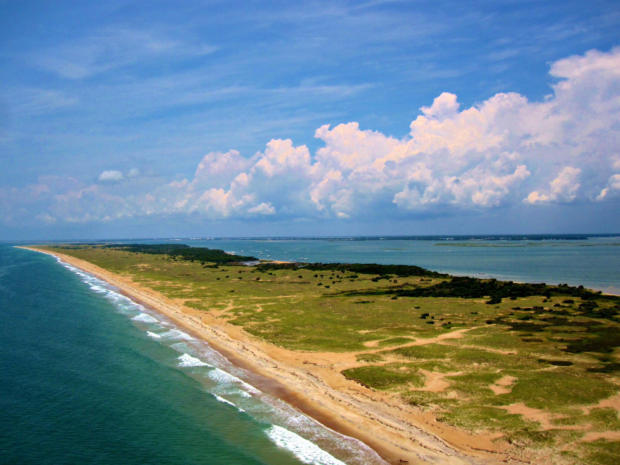
The establishment of the Park in 1966, and evolution of plans (1970s) to return the 56 mile “ribbon of sand” into a wilderness condition, halted these efforts to develop. In 1934, a Department of Interior proposal was circulated in Congress beginning the exploration of the Cape Lookout and the Cape Hatteras Seashores. Congress set the goal of reclamation of the 1700s wilderness setting and mandated the Park Service to fulfill this congressional vision. We citizens are benefactors of that vision but it was a complicated process and it was a painful one to many.


James Hart and Thomas Marshall—April 4, 1827 (recorded 1928)— Serving to set a baseline of the history of initial use of the area.
James Hart transferred half of his holdings totaling 999 acres to Thomas Marshall. …..lands lying on Core Banks near Cape Lookout lighthouse…. purchased for taxes (in Sheriff’s Deeds)…there being a fishing place or places on said land and the same will be rented out yearly ..to the highest bidder ..proceeds divided equally.

Cape Lookout Land Company—-a corporation founded May 27, 1912
Seven founding stockholders formed this company for “buying, selling, improving and dealing in real estate”. Although not mentioned in the articles of incorporation, this entity focused much attention to the Cape Lookout , Shackleford and Core Banks areas.
The founders included W. A. Mace, C. L. Duncan, and C.L. Abernathy of Beaufort, along with W.E. Headen and W. M. Webb of Morehead City, W. B. Rodman Guion of New Bern and W. B. Rodman of Norfolk, Va.
Deed 13-512A Lilly Bell Webb (wife of William Webb) and Mary B. Headen (wife of W. E. Headen) conveyed tracts of land inherited from their father David Bell to the Cape Lookout Land Company. These were lands situated on Cape Lookout, Core Banks and Shackleford Banks (those banks then still being connected preceding the 1933 storm). Charles Abernathy conveyed his lands earlier purchased from J. O. Pigott and George Ives as the company was formed.
Cape Lookout Land and Improvement Company, Inc—-March 26, 1913
This corporation was formed and functioned under the laws of the State of Virginia.
Individuals involved included: E. H. and Belle B. Howe of Richmond, Virginia; C. J. and Margaret Howe of North Carolina and Charles and Margaret B. Pearson of the State of Georgia, Victor H. Boyden , of Raleigh (serving as trustee for Charles Pearson).
Five hundred acres were conveyed to the corporation, described as “Beginning at Drum Inlet Creek’s mouth…..being one half mile , more or less, from Cape Lookout Lighthouse….running along the sound to the ?? station..containing 500 acres.”
Deed Bk 16-221 The principals of the above corporation transferred land to the Cape Lookout Land and Improvement Company on March 26, 1913. These lands were described as “beginning at Drum Inlet Creek’s mouth, Drum Inlet being one-half mile from Cape Lookout Lighthouse, …”along the sound to the ?fish station”—containing 500 acres.
University of North Carolina to E. H. Howe (then, of Craven County) Sept. 5, 1905 Bk 3-pg 377
Holdings by Howe were acquired from he University of north Carolina—“Beginning at Drum Inlet Creek’s Mouth then along the said Creek as the inlet went into the seaside then westward along the seaside to the center of the High Hills then a parallel line with the first”—…”containing 500 acres more or less.” (Carteret County Register of Deeds found no record origin of U.N.C. ownership, although, in 1913, an additional conveyance of 600 acres on Shackleford Banks to C.R. Wheatley and 33 acres near the lighthouse to D. W. Morton was made by the University of North Carolina).
E. H. Howe later served as President of the Cape Lookout Development Company, as holdings of each entity were re-formulated.
—————————————————
Harbor of Refuge— 1912 to 1918
In a report transmitted to Congress by Secretary of War H. L. Stimson on 7 February 1912, U.S. Army Chief of Engineers W. H. Bixby recommended construction of a breakwater to create a harbor of refuge at Cape Lookout at an estimated cost of $3,526,600 with a target completion date in 1916. It was projected that the Cape Lookout structure would require 1.6 million tons of stone to build a structure with a length of 6,250 feet.


Jetty Workers–Josenhans photograph
The large granite boulders [for the break- water] were delivered by barge to Shackleford Banks near the lighthouse and then carried in rail cars along a track laid across the sand to the project site.
The breakwater project’s most-ardent supporter was local Congressman John H. Small, who envisioned a railroad from the mainland that would help make Cape Lookout a significant port.
Construction of the breakwater began at Wreck Point in 1914 with an Italian-born stonemason named Dominick Asdenti (1892-1956) as foreman and Carl Josenhans as chief engineer. The harbor at Cape Lookout, declared complete in 1918, was never used as much as anticipated.
—————————————————————–
Cape Lookout Land Company, Inc. March 10, 1916 with (references to actions June 23, 1915)
Defendant vs US Bk 19-pg 286
112 individuals named
—“for the condemnation of certain lands at Cape Lookout…needed in connection with the project for a harbor of refuge and for other public purposes…”
—56.3 acres and 82 acres—beginning on the west side of Cape lookout Point
see also—Cape Lookout Land Company, Incorporated vs U. S.
Bk 19—pg 288 to 291 condemnation for harbor of refuge—related actions
There is no direct history explaining the impact of the Harbor of Refuge upon the Land Company or the other named individuals, but it was during this general period that the Cape Lookout Development Company evolved with similar players and a vision for a railroad from Lennoxville, in Beaufort, to Shackleford and then to the Cape.
The Cape Lookout Development Company—-
a North Carolina Corporation—founded July 13, 1921
The object of this corporation was expressed as intending to” conduct and operate a general real estate business”. Further, the corporation intended to construct and operate hotels, stores, club houses, theaters and dwellings of every kind. Construction of golf links, tennis courts, race tracks and other sport and amusements business was also included. Operation of a boat line, wharves and docks would facilitate their plans.
The initial directors/investors included ,from Beaufort, C.K. Howe, James E. Gaskill and Fred o. Dickinson and C. T. Gillikin of Morehead City.


Cape Lookout Land Company—conveyed to—Cape Lookout Development Company, Inc. April 15, 1922
—C. K. Howe and Margaret Howe conveyed to Cape Lookout Development Company tracts of land on Cape Lookout Banks. (The Howe’s land holdings acquired from U.N.C. and elsewhere were included).—-also–
—…”particularly in a deed from C.L. Abernathy to the Cape Lookout Land Company, July 17, 1912—Bk 13-pg 513 and all land owned by said company (Cape Lookout Land Company) and sold to C.K. Howe by deed dated July 12, 1921 “ (Bk 38-pg197)
Cape Lookout Land Development Company—agreement with
Mutual Insurance and Realty Company (of Greensboro)
June 18, 1923
—after selling/disposing of 130 lots in “Subdivision B (described in Bk 34-pg 371) -agreed to give exclusive right of sale of remaining holdings —marketing at $100 each—and 50% of sale price going to Realty company but—
—excluding /stipulating that C. L. Abernathy would receive one-half of interest in said property, when a railrroad is built to the said property—
—agreeing to sell 500 lots per year during their 5 year contract
—signed by C. K. Howe , president CLDC and C. T. Gillikin, Secretary and H.T. Ireland and J.B. Ward of the realty company.
Abernathy, lawyer and congressman, was involved in much of the development plans and actions even into the 1930s.
A 1934 map of the cape shows some of the structures already built there–including Abernathy’s cottage.

Identified as “Massey” cottage, the owner was Thad Hussey, of Tarboro.
Certificate— Whitehurst transfer Nov. 12, 1936
Cape Lookout Development Company
—C. L. Abernathy was serving as president of Cape Lookout Development Company (C. T. Gillikin, as secretary)—Abernathy claimed ownership of Cape Lookout Development Company of 84% and C. T. Gillikin, of 16% at that time. (C. k. Howe was stated to be a non-resident of North Carolina as of that date.
C. S. Maxwell also acquired tracts for future plans. Hettie and Tillman Rose are grandparents of Emma Rose Guthrie of Harkers Island. They left their home in Cape Village around 1915-1916.
Tillman and Hettie Roset to C. S. Maxwell July 12, 1921
Bk 32 -pg 468
—12 acres more or less—“situated on the East side of the Cape Lookout Road leading from the Lookout landing near the Light House to the Life Saving Station and being the same lands on which the parties ..have resided the past 25 years…”. Legal disputes over ownership between Maxwell and Cape Lookout Development Company are seen in the Register of Deeds records.
Tillman and Hettie Rose to Cape Lookout Development Company
August 18,1921 Bk 32-438
“Being all our right title interest in the land known as Cape Lookout. Bounded by middle camp line on westward and on eastward by Horsepen…..between middle camp line and the Atlantic Ocean and Core sound to Horsepen Creek. The above description is intended to include all the land oi the John Porter Patent of 1713, that lies to the eastward of the middle camp line near Diamond City.”—signed with their mark.
This would seem to encompass the east end of Shackleford, all of the Cape and significant portions heading north along South Core Banks.
—————————————————————–
Cape Lookout Highway Incorporated——-November 2, 1928
The Cape Lookout Highway Incorporated was formed with the purpose of constructing and operation of a toll road from Cape Lookout to Harkers Island and from Harkers Island to the mainland.
Additionally, objectives included operation of motor bus lines, freight and passenger service, electrical service, telephone and telegraph services, and interestingly, the construction of parks, bath houses, dance halls, places of amusement and other useful businesses.
One paragraph included the intention to exercise eminent domain in pursuit of their objectives.
The Board of Directors included U. E. Swann, H. M. Hendrix, and C. S. Maxwell—all of Beaufort, N.C.
Deeds show purchase of property and rights of way from Lennoxville in Beaufort to western Harkers Island and eastern Harkers Island. The land Maxwell purchased from the Roses may have related to a site for the bridge to land (authors conjecture only).
Cape Lookout Ocean Pier Corporation—-incorporation approved Jan. 25, 1939
—-
Floyd W. Simmons of Charlotte intended and began work to construct a recreational pier and additional facilities at Cape Lookout Bight. Simmons had established the Edgewater Club in Morehead City in the mid-1930s. The Edgewater Club also established a satellite camp structure near the lighthouse for its patrons.


Although plans found in his archives are more elaborate, the actual hunting/fishing outpost was much less impressive than the main Edgewater Club.
—————————————————-
Cape Lookout Beach Club
In the late 1950s and 1960s, Charles Reeves and Sam Bass created a vision of a more elaborate Beach Club with landing strip, hotel, club house, marina and more. There are no deeds found demonstrating any sales of property or membership and his memberships may have been recorded elsewhere.


Documentation seems to demonstrate that land needs would be met from the existing holdings of the Reeves/Bass family.

The proposal for development would certainly have provided a negotiating point for Reeves as he optimized his interests at the time of acquisition of his holdings for the Park.

I will never forget my trip with Clay Fulcher to his camp on Core Banks soon after I began this project. I walked from the beautiful marsh over to the ocean. As I walked out of the dunes, I looked North and then South with only dunes, native grasses and rolling surf as the vista. No human structure and no human debris, only nature met my gaze. I was and am grateful of the blessing that this portion of our living Outer Banks is preserved. I already had begun to understand, however, the personal costs to many locals who lost their camps, cottages, and connections here. The roots remain under the sandy surface. I turned to walk back and saw a scotch bonnet sitting atop the ridge as a keepsake of that visit.
Today, nearly a full century later, we have learned not only of the repeated impact of storms and the rising sea level, but have also learned that these Banks consistently migrate over time—remolding the banks, marshes and creeks. It is almost certain that had development occurred as earlier planned, we would now be seeing further environmental and political challenges as we would be fighting against the unrelenting forces threatening such developed areas.
The more natural state of the current Seashore is a much more fitting benefit—even a tribute—to the beloved culture of these Banks that was lost in its creation.

Credits—-
- Carteret County Register of Deeds office–especially Iona Whitehurst
- NPS ar hives and files
- Carteret County Historical Society–for the Floyd Simmons info
- Stegner and Blevins–Park Featured Artists
Leave a Reply